Morley Walks
Get out there
We are constantly being told we are becoming a sedentary nation and we should all be out in the fresh air taking exercise. The walks listed here have been created to help you get out and about and enjoy your local environment.
Morley Town Council would like to thank Morley Walking Club, Parks & Countryside, Leeds City Council and Morley Community Archives for their contribution in creating the walks.
Reporting problems
We hope that you will enjoy a trouble-free walk but should you encounter any problems please report these in writing to Morley Town Council, Highways & Transportation Committee, Morley Town Hall, Queen Street. Morley LS27 9DY. Or email: town.clerk@morley.gov.uk.
How to use the walk guides
You have a choice of formats, depending on the walk. Most walks are available on Google Maps and on the walking and hiking apps All Trails and GoJauntly. Some walks also have downloadable (PDF) files that you can print out. The digital versions — both on Google Maps and non the apps — do provide more information, and details such as maps, photos and detailed geolocated step-by-step guidance. Follow the links under each walk description to get to the guidance in your preferred format.
Below you can see a brief explanation of each kind of walk guide app or website. The links to the actual guides can be found on the page dedicated to each walk. These are accessible further down or from the menu at the very top.
Types of walk guides
-

Google Maps can be used on mobile devices via the app or online. The guide includes markers for the walk, with step-by-step directions, most with illustrating photos of the trail points.
-

AllTrails is a fitness and travel mobile app used in outdoor recreational activities. this app is commonly used for outdoor activities such as hiking, mountain biking, climbing and snow sports. The service allows users to access a database of trail maps, which includes crowdsourced reviews and images.
© Wikipedia https://g.co/kgs/dRXifP
-

Go Jauntly is a walking app that relies mostly on photos to guide your way.
-

Download a PDF guide with sep-by-step guidance. Note that this guide does not contain any visual aids or detailed map but, either printed or saved onto your device, can be a good alternative in case you lose signal during the walk.
The walks
-
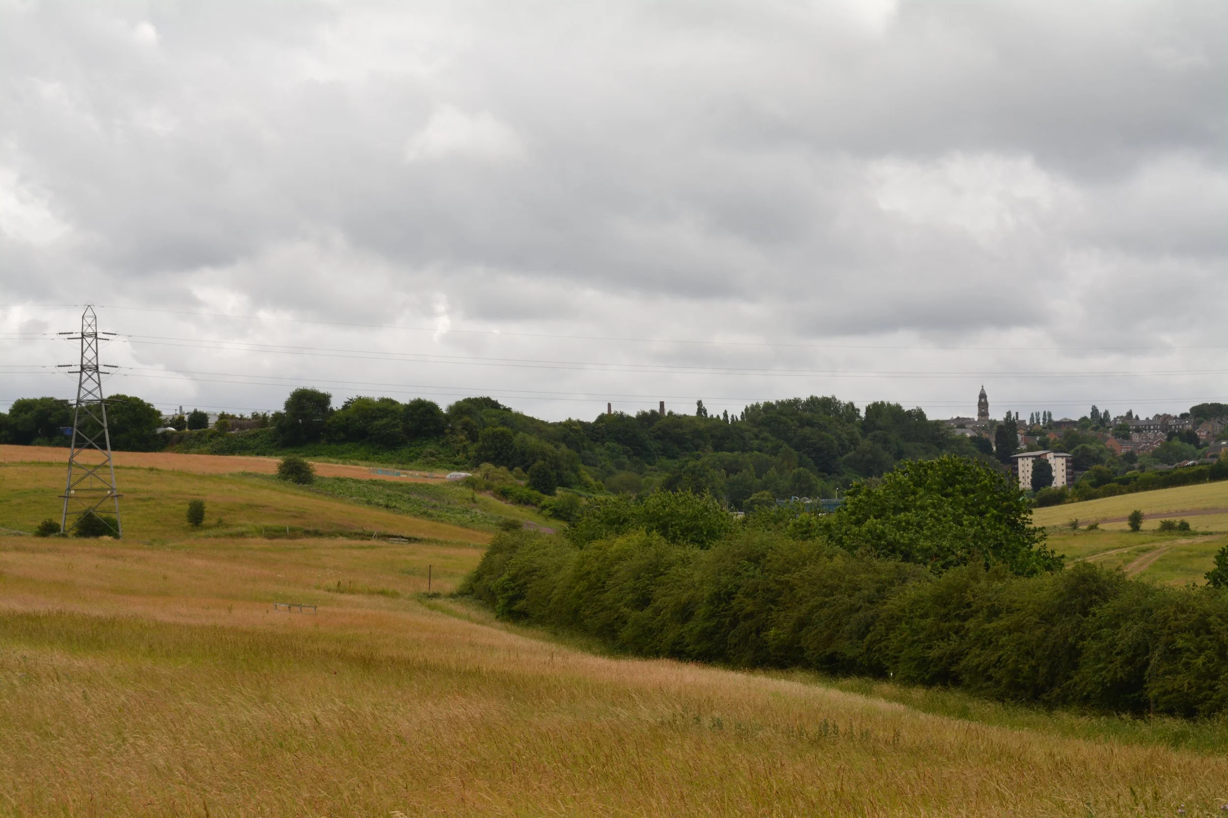
Morley Mungo Way - Circular Walk
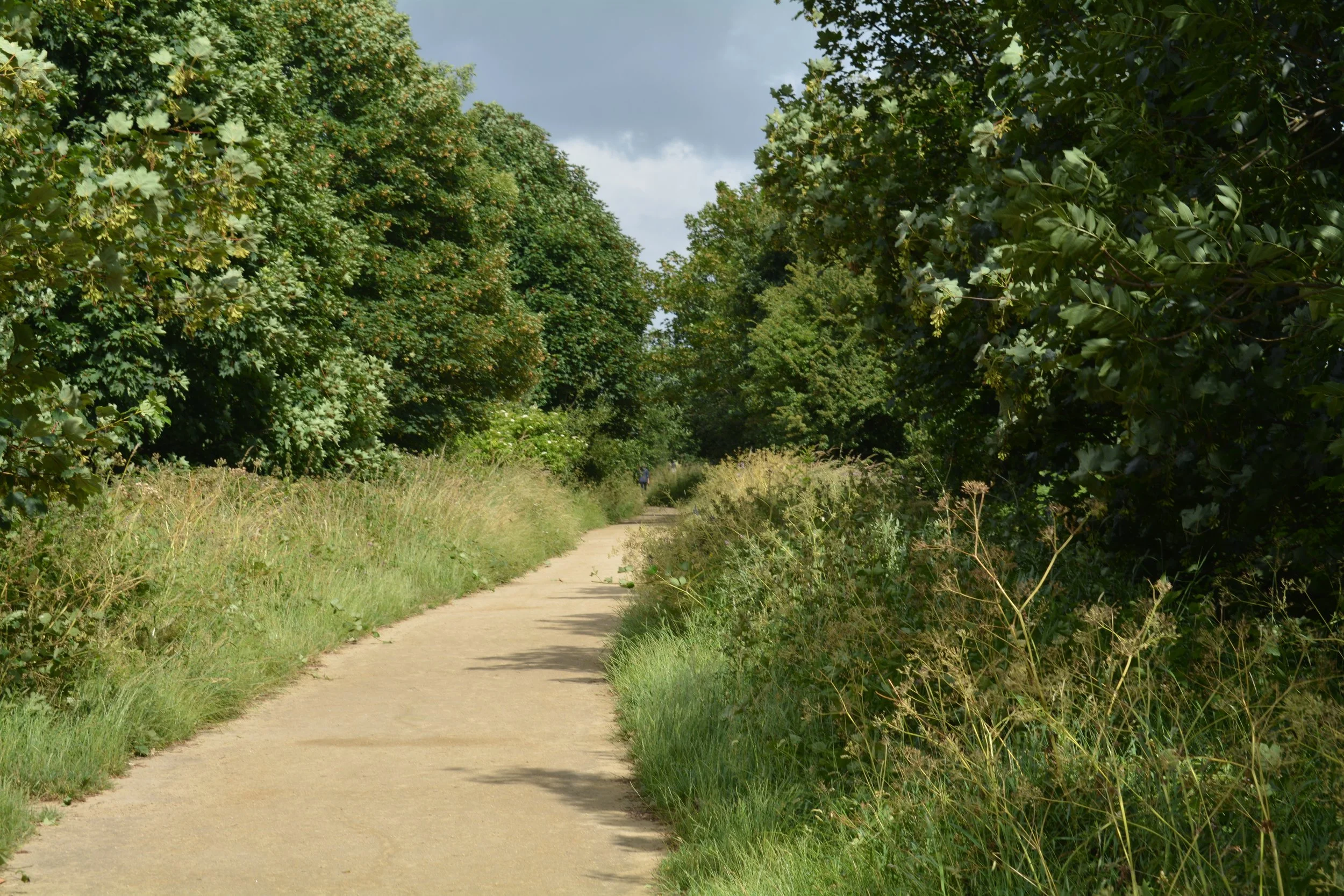
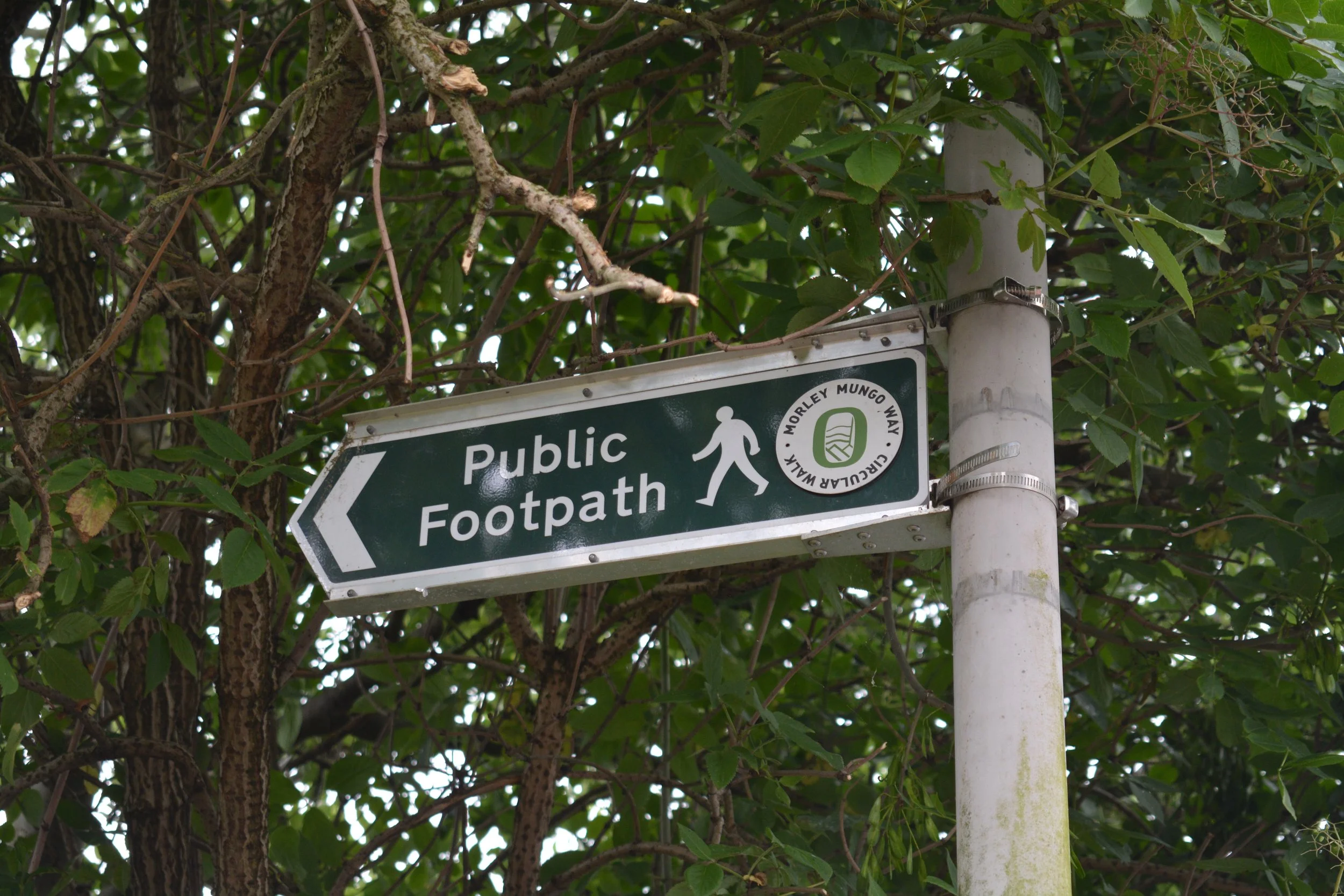
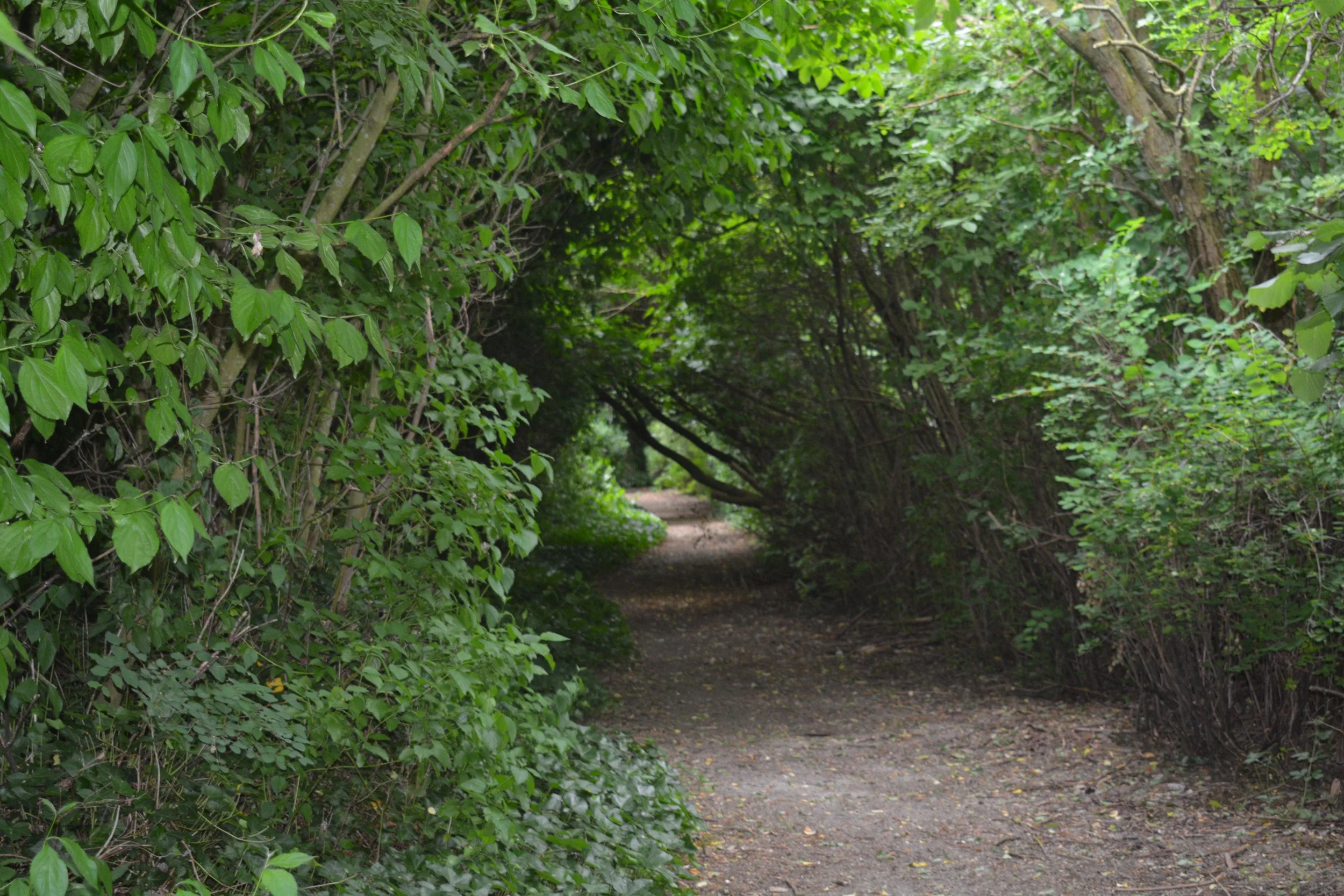
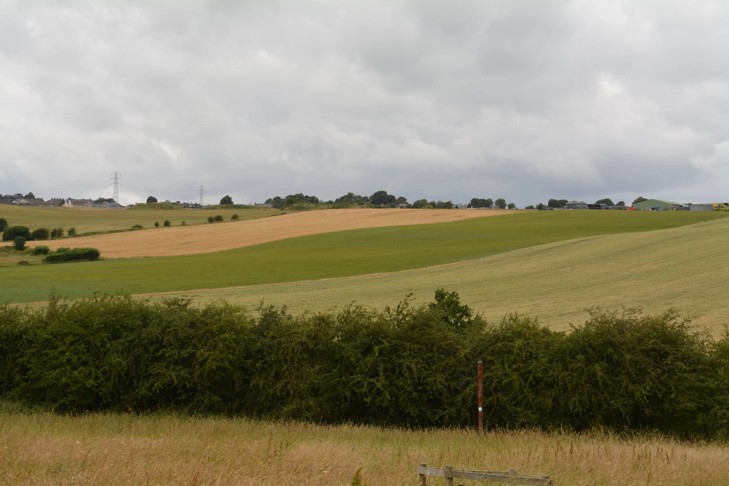
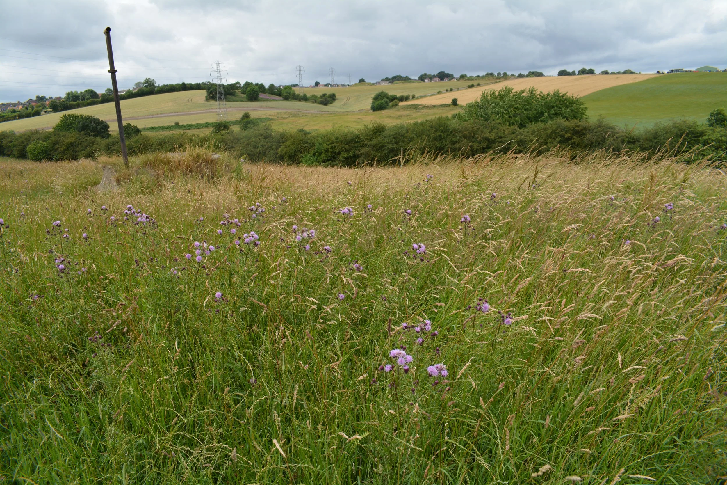
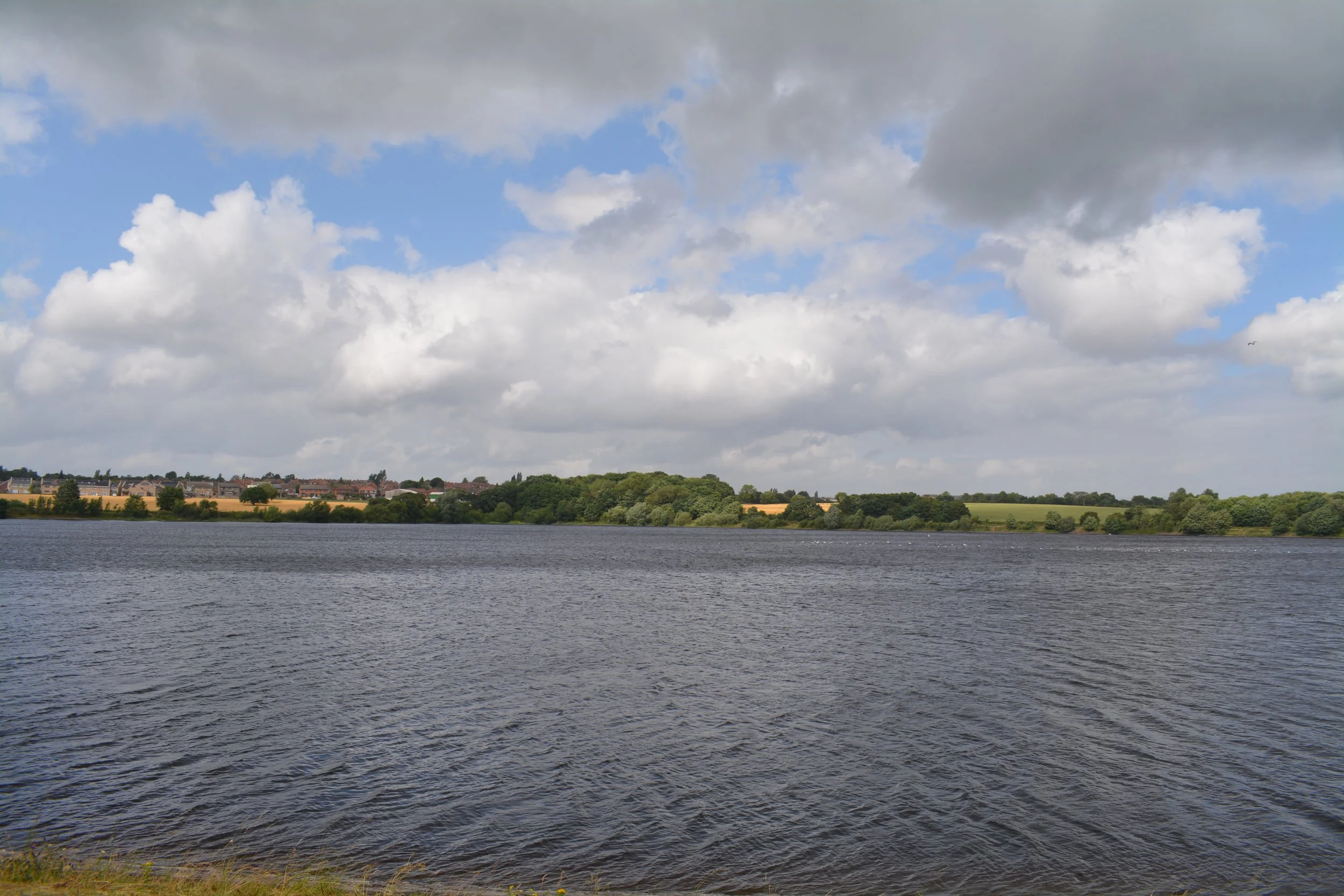
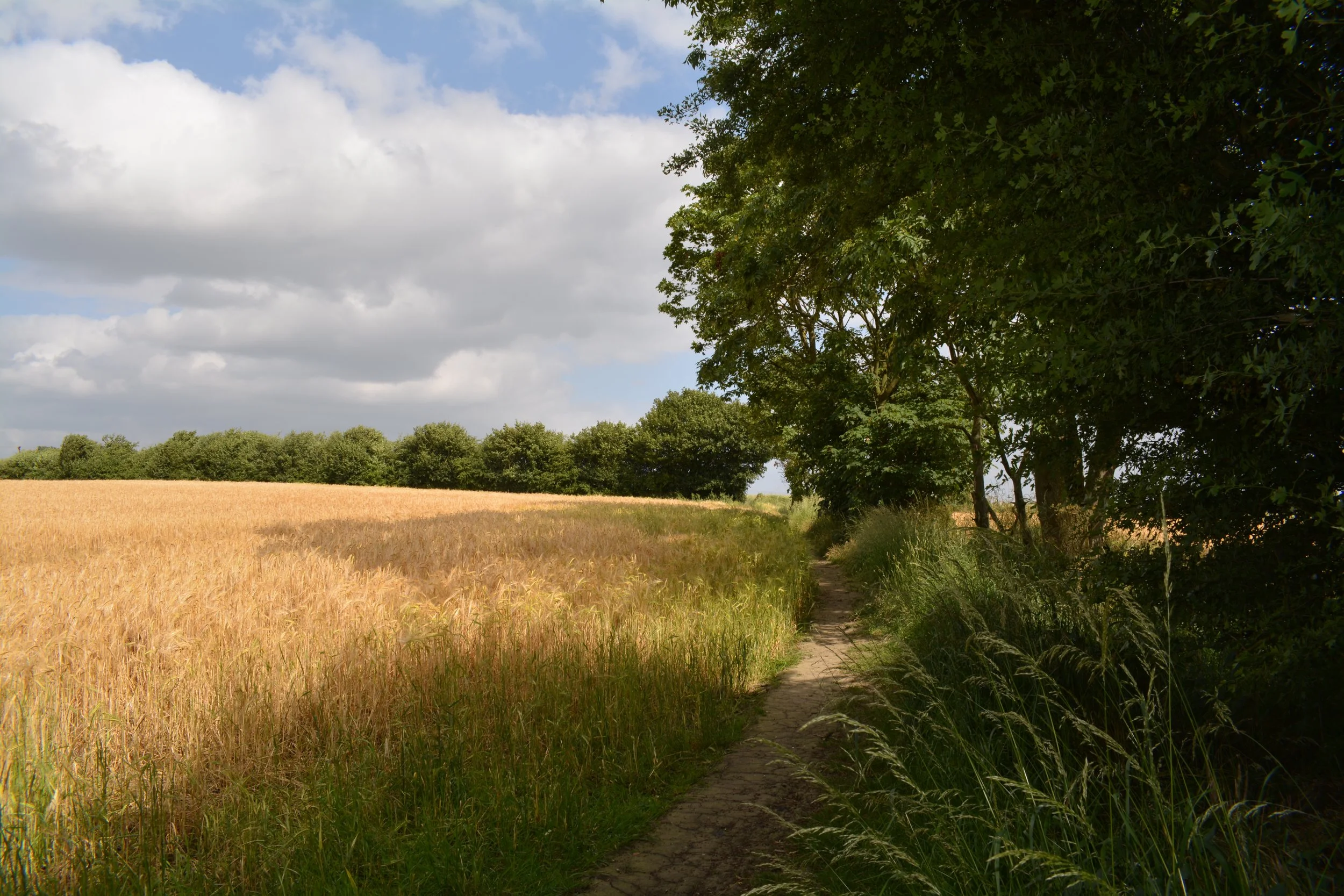
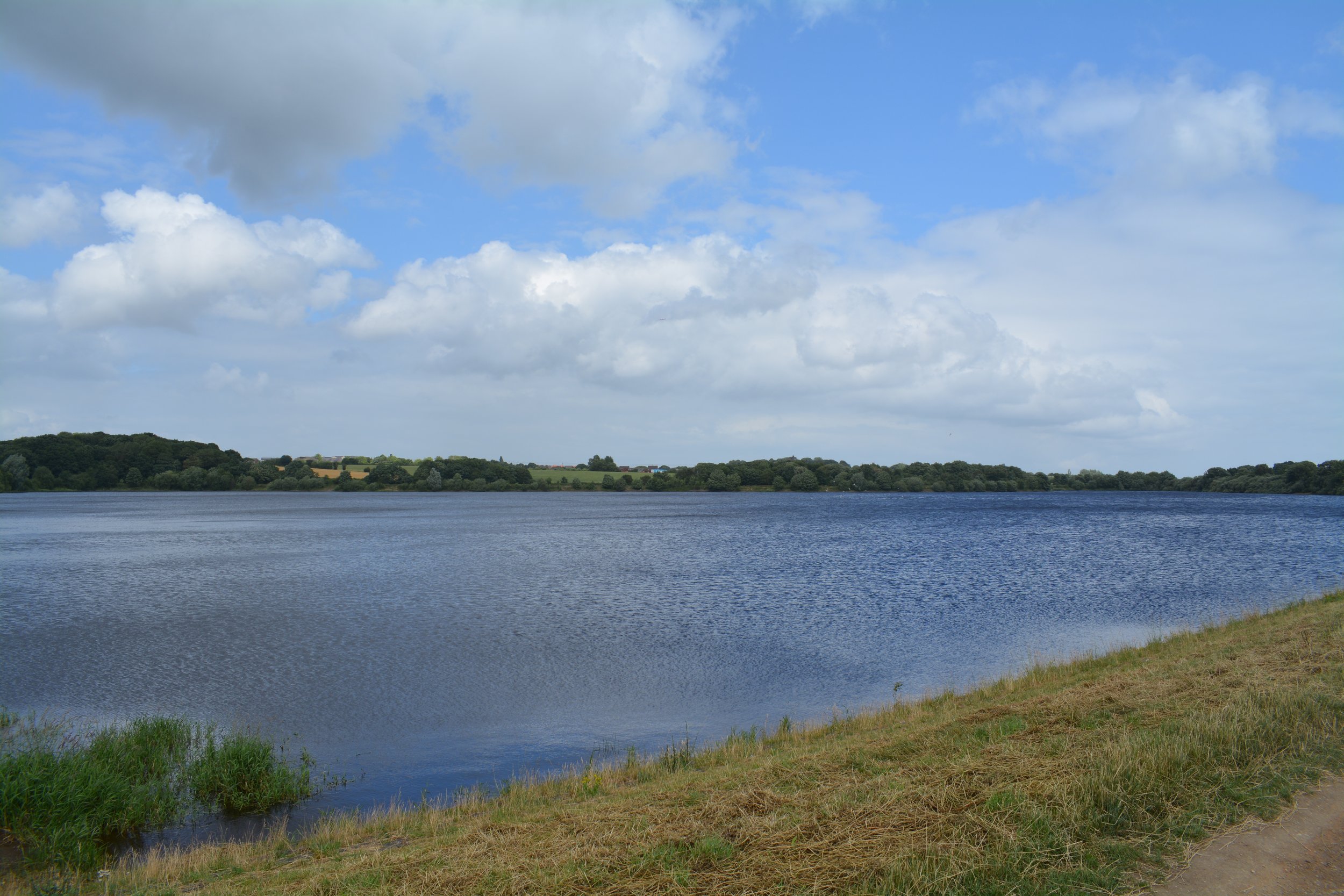
A 30Km (18.7 miles) circular walk around Morley. Divided into three sections between 9Km and 11.5Km long. Using existing footpaths, bridleways, and permissive paths surrounding Morley the route travels through some interesting local countryside. You may be amazed to find some hidden gems such as meadows, ponds, woodlands and open countryside, including stunning wide-open vistas of distant hills and valleys which surround our town.
-

Morley Heritage Trails
A collection of trails in and around Morley focussed on the rich heritage of the town. Morley’s known history goes back to Anglo Saxon times: It started as an agricultural village and became part of the Morley Wapentake – a large administrative area. These heritage trails are aimed at encouraging awareness of Morley’s past by inviting people to look behind the frontage of modern buildings and delving into their past history.

