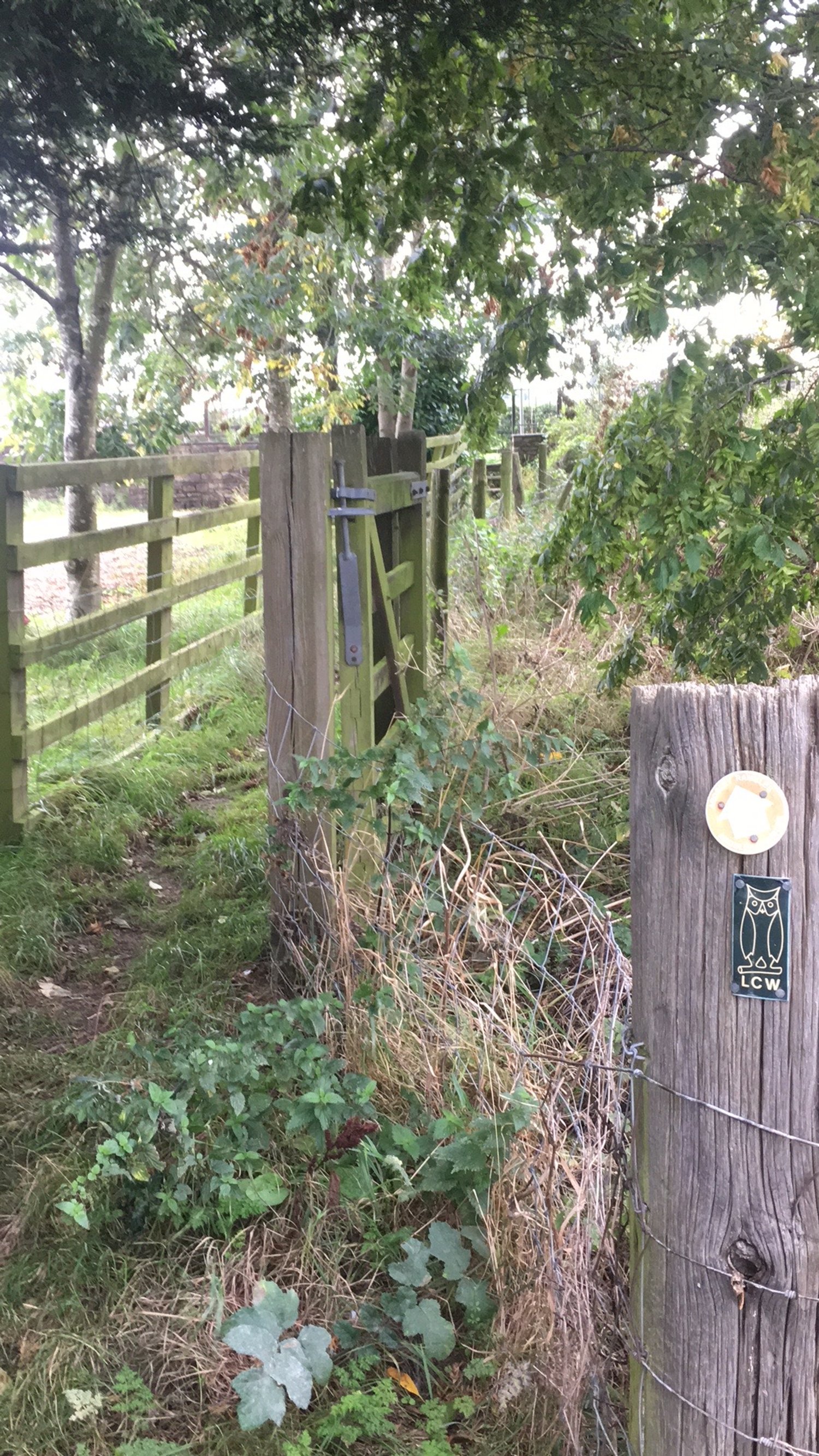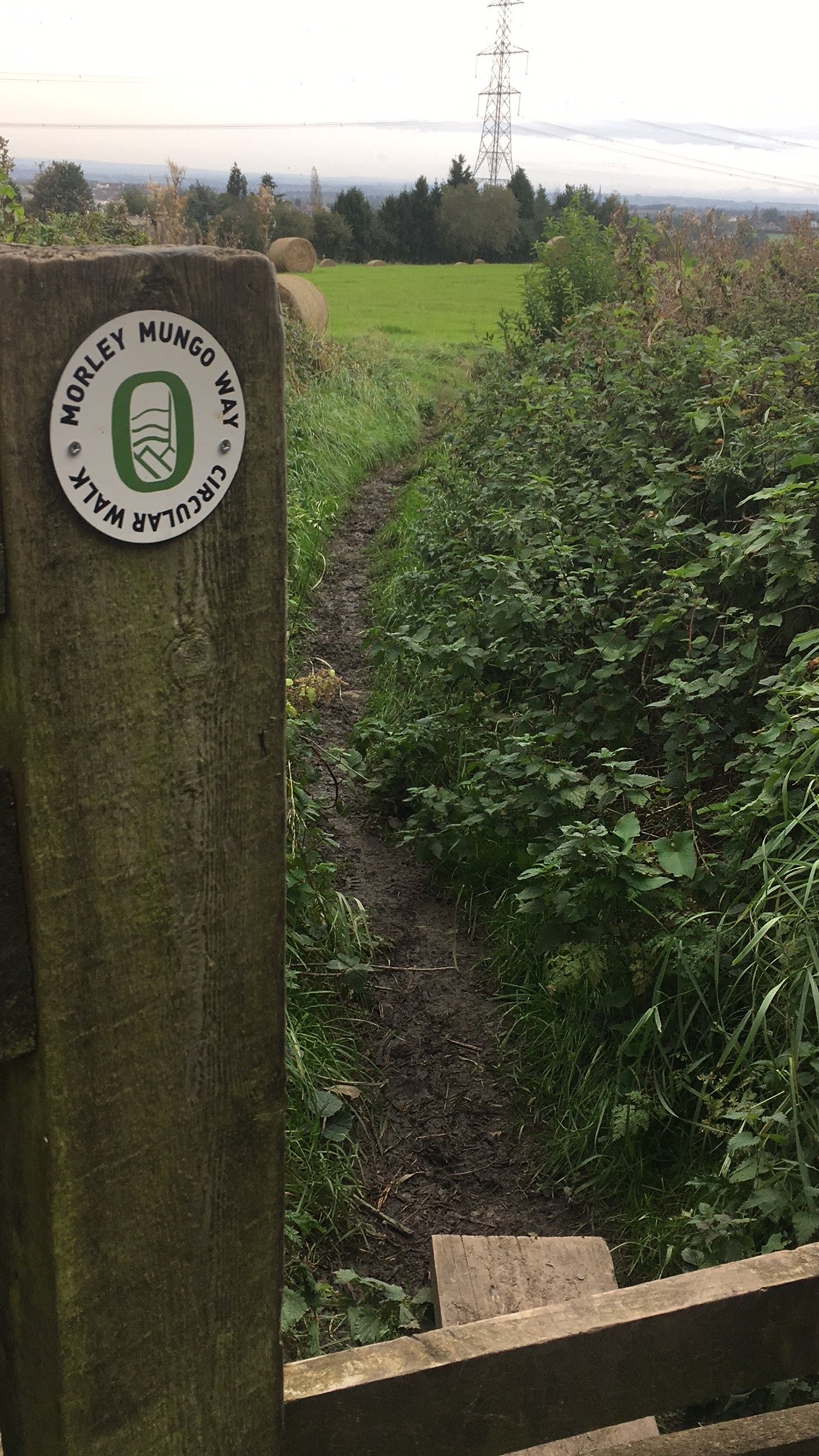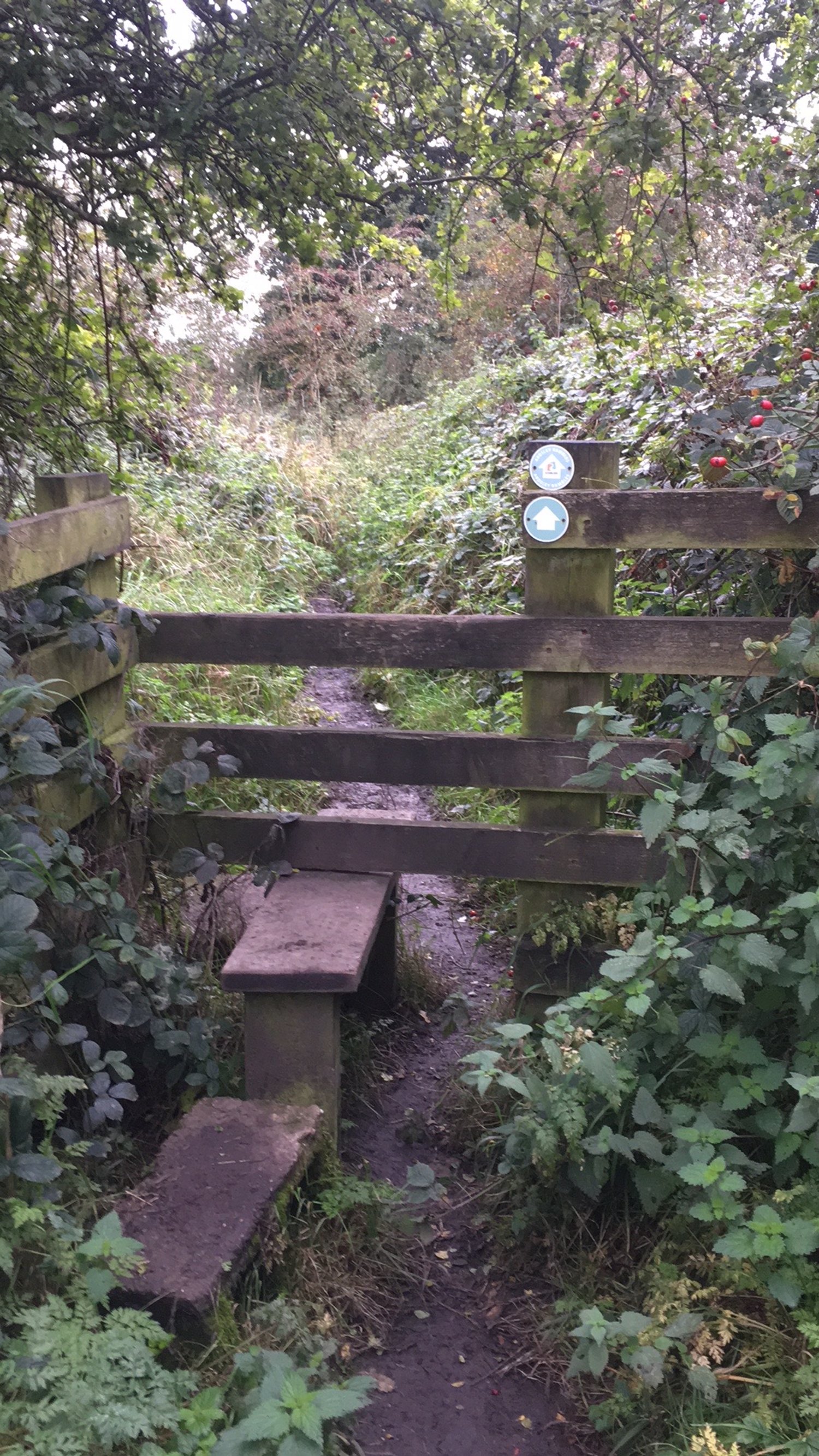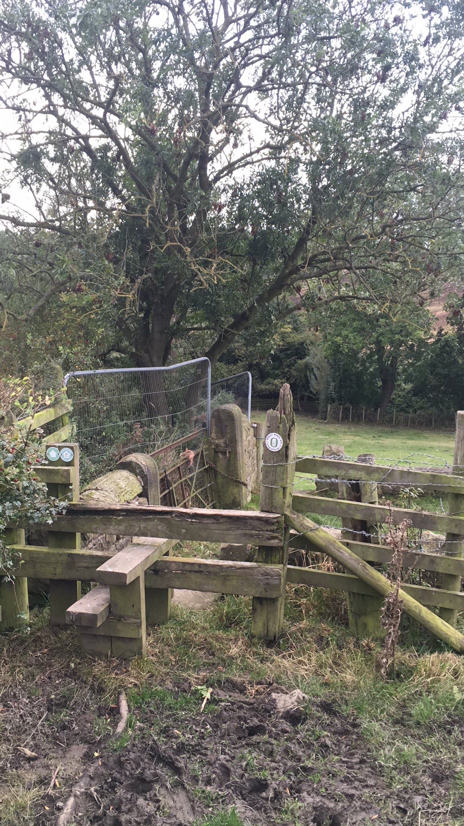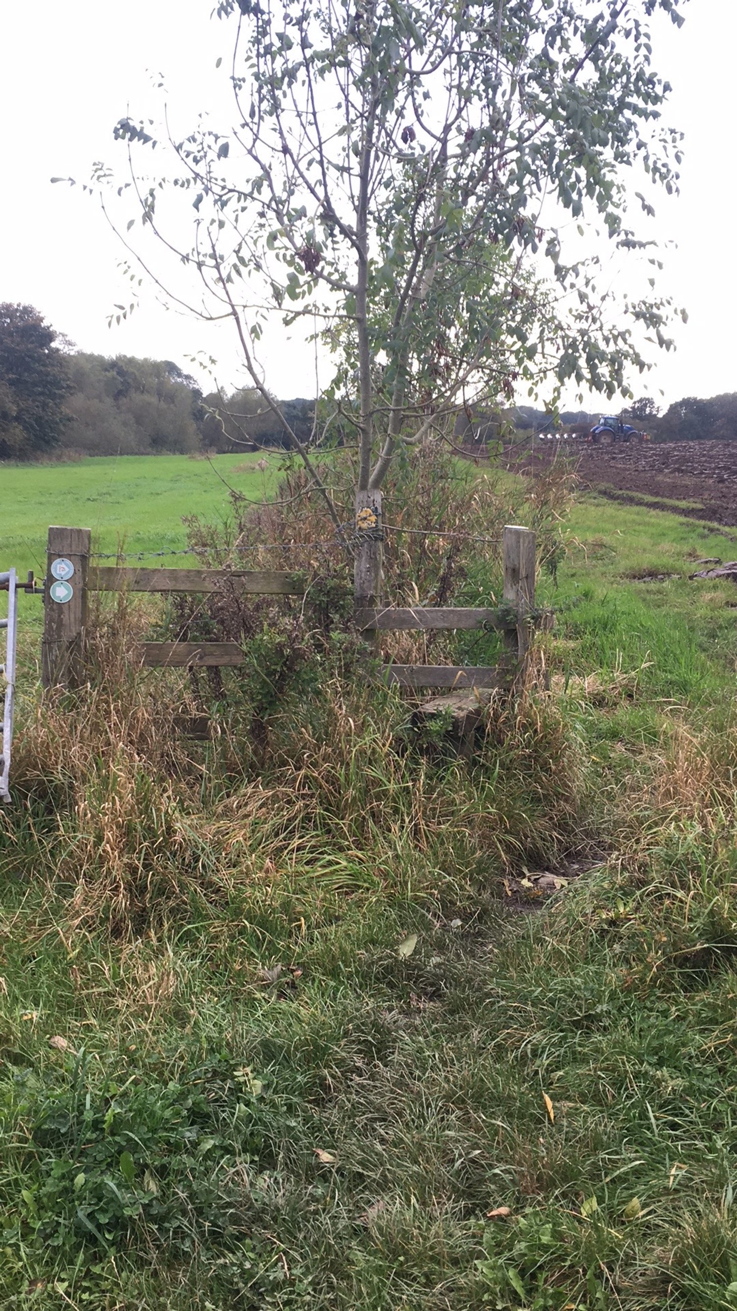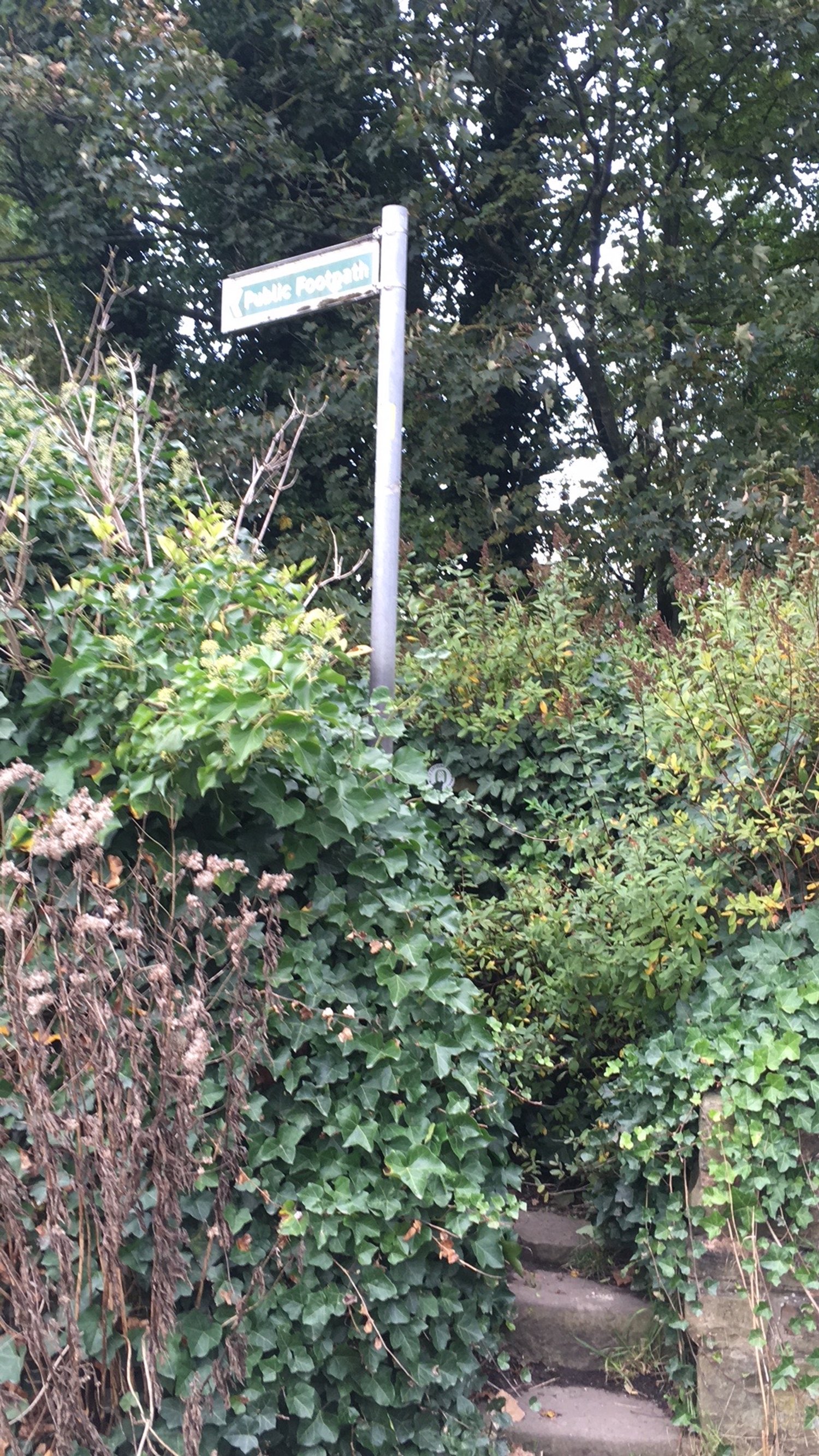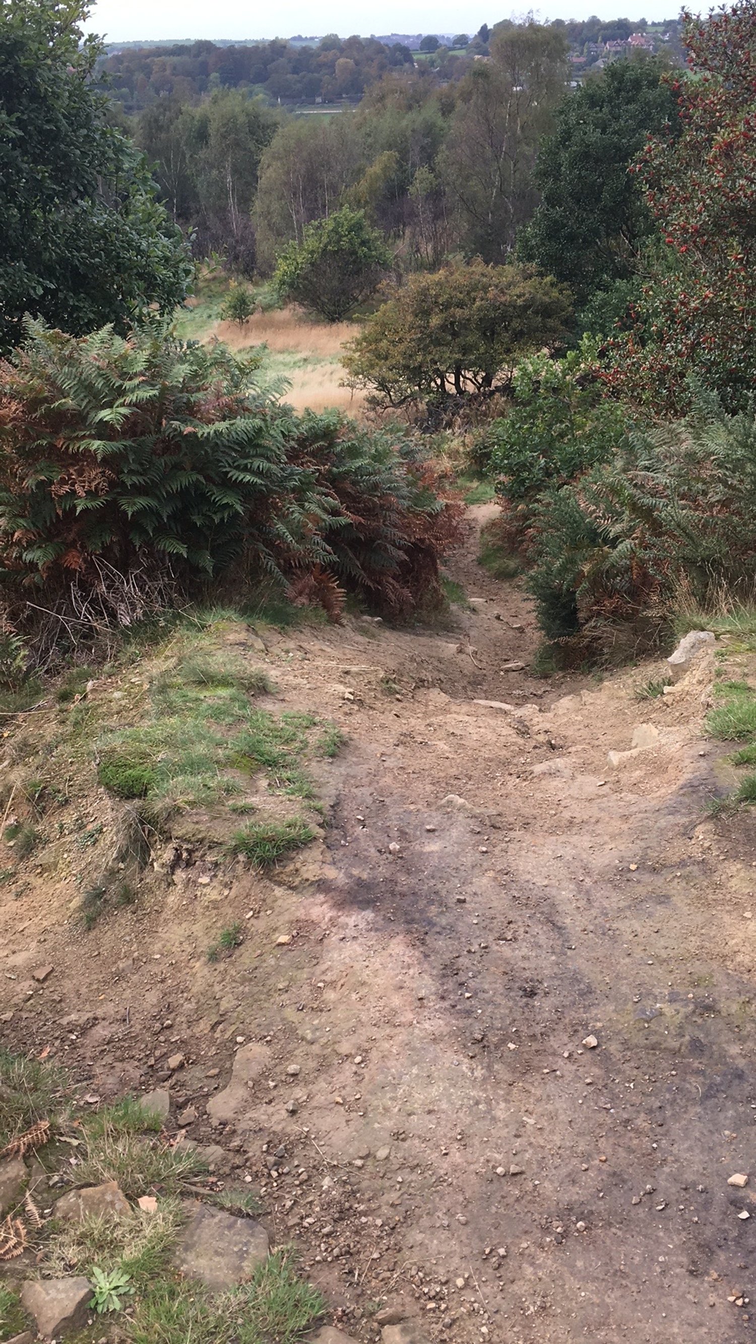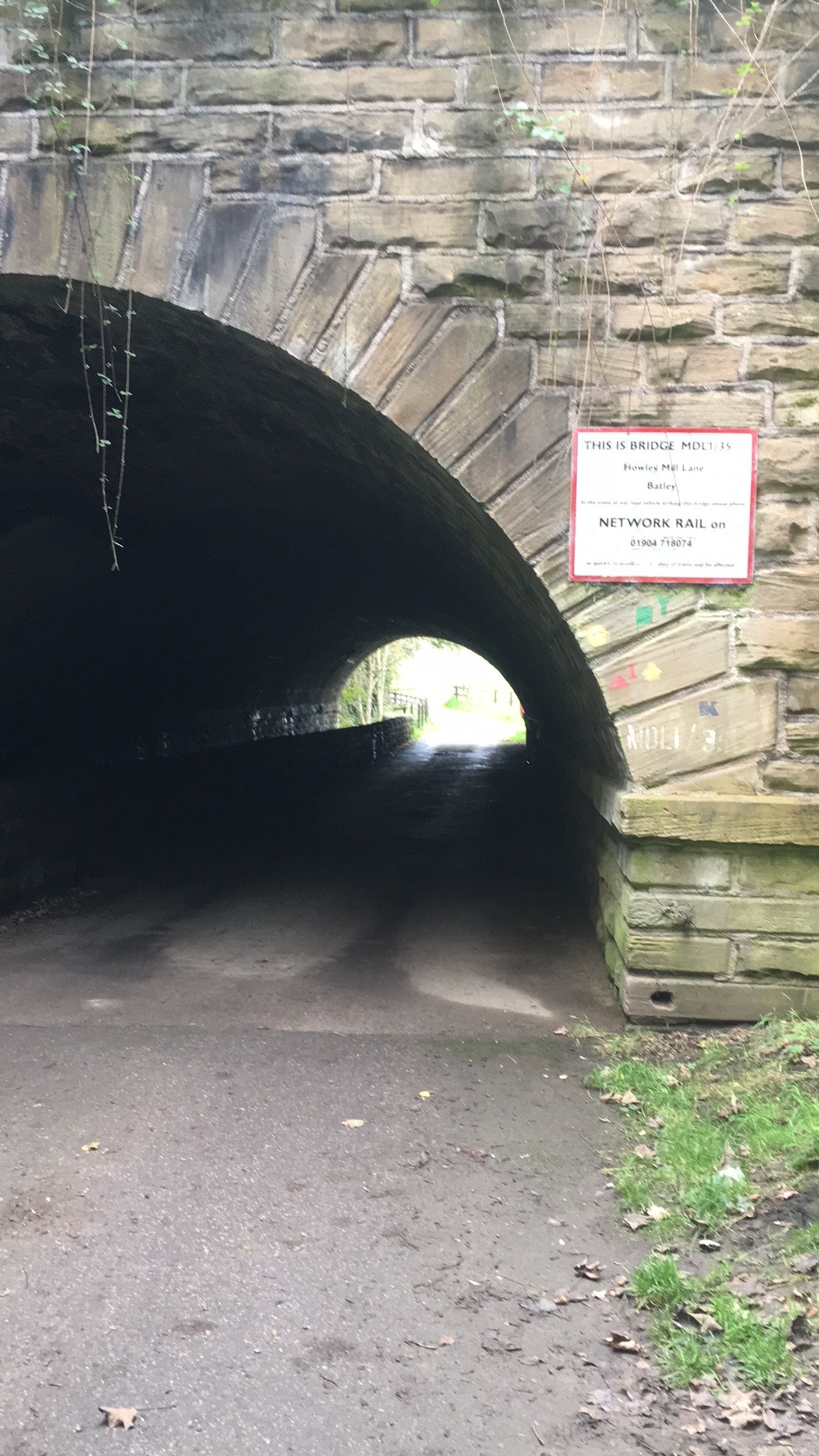
Morley Mungo Walk
A circular walk around Morley, in three sections.
Introduction
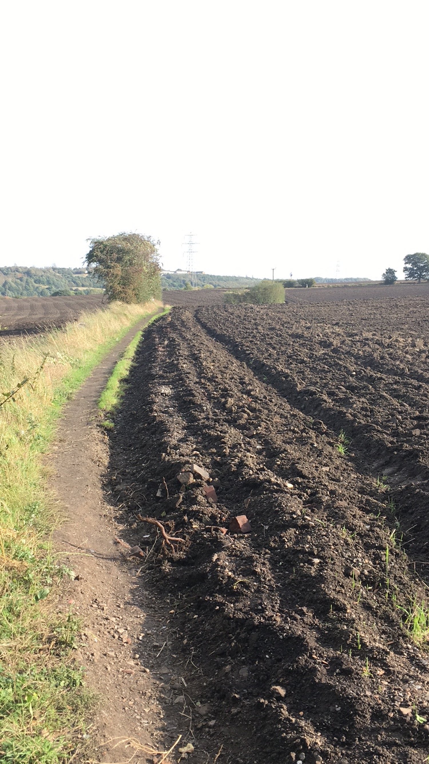
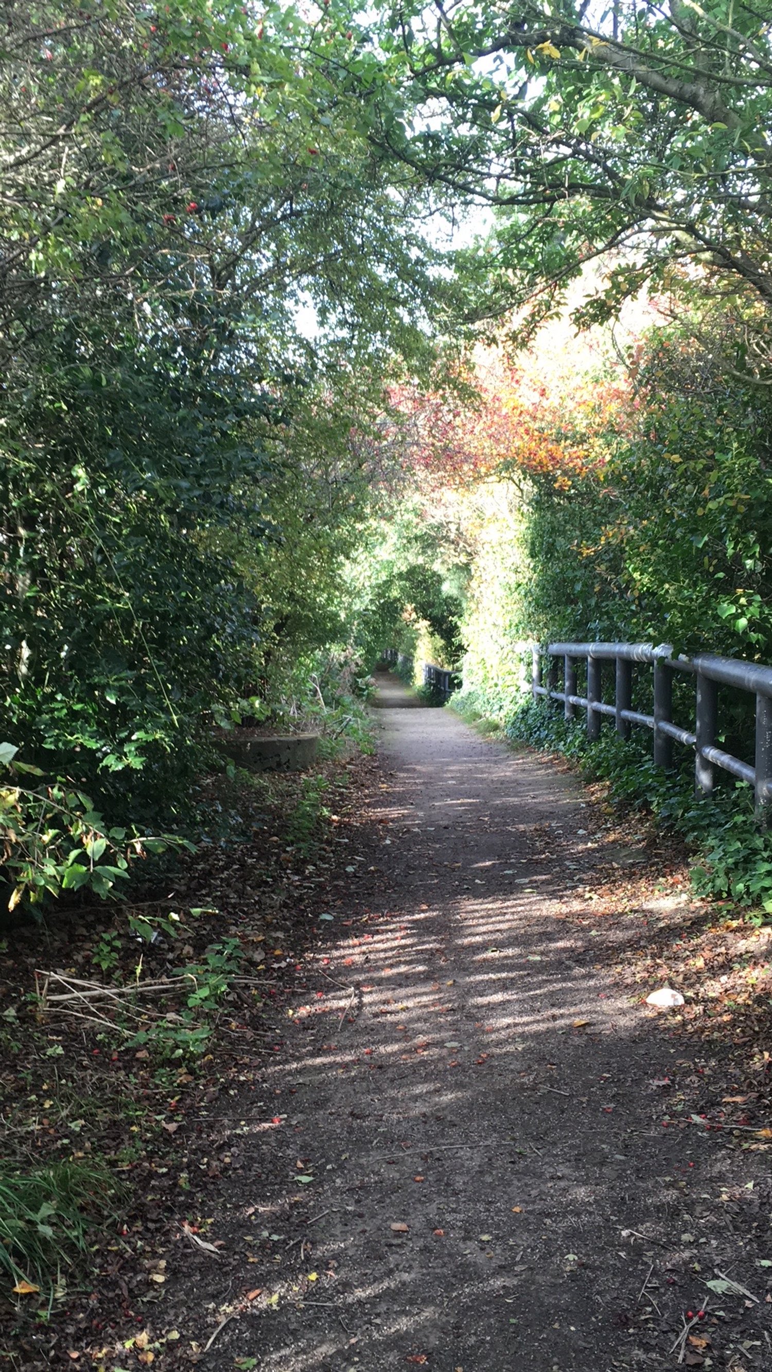
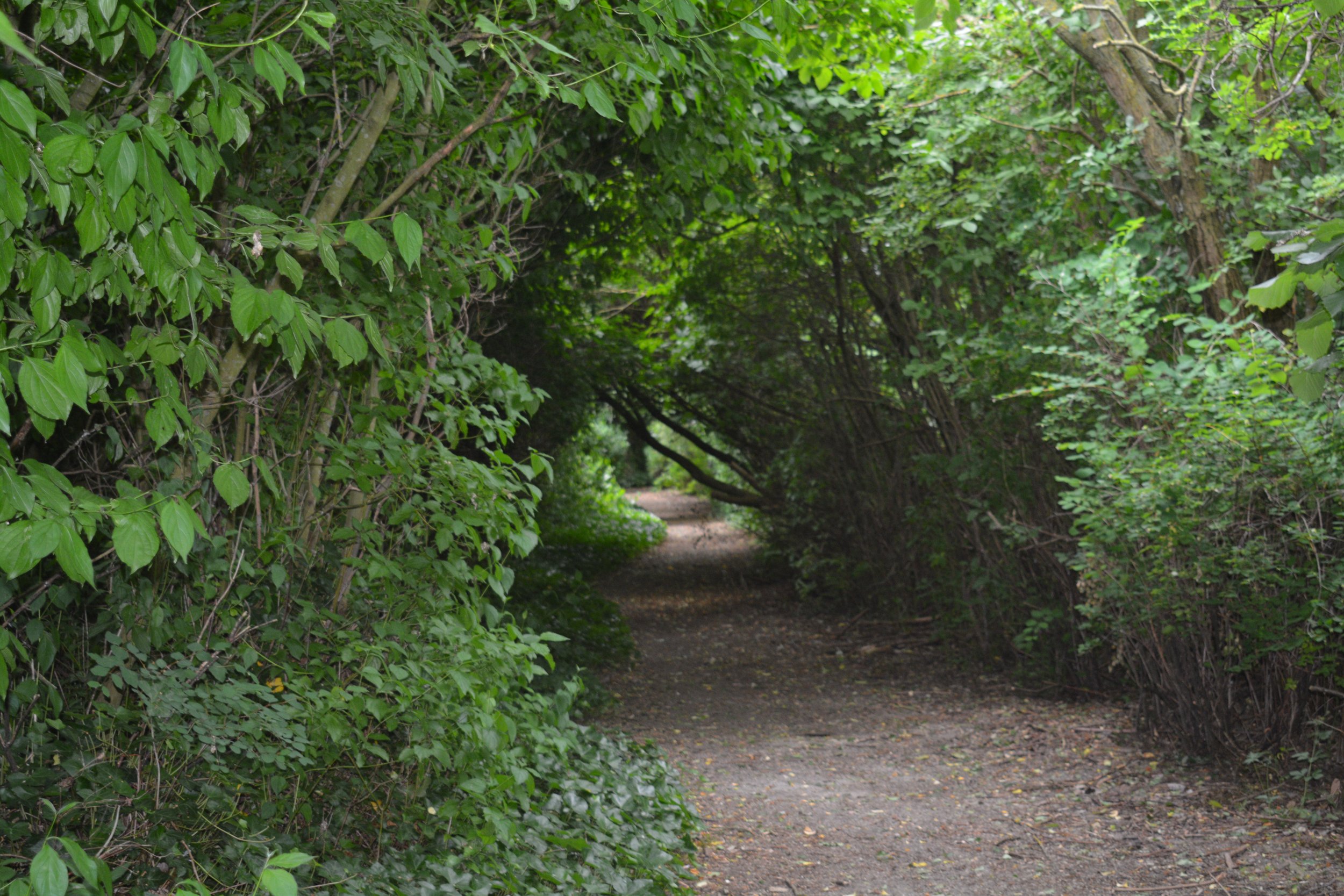
We are constantly being told we are becoming a sedentary nation and we should all be out in the fresh air taking exercise. The Morley Country Way (MCW) has been created to help you get out and about and enjoy your local environment. Using existing footpaths, bridle ways, and permissive paths surrounding Morley the route travels through some interesting local countryside. You may be amazed to find some hidden gems such as meadows, ponds, woodlands and open countryside, including stunning wide-open vistas of distant hills and valleys which surround our town. Unavoidably, in some places we had to use the local highways to link one footpath to another. We have used the shortest and safest routes possible but please take extra care on these sections especially if you have young children or a canine companion.
Walk options
The walk is approximately a 30Km (18.75 miles) circular recreational walk with Morley at its centre. You can choose to undertake it in one complete stretch or for a more relaxed approach walk one section at a time. The start and finish of each route is near to public transport and we give the bus route number for your convenience. Notably, walks start and end at a place supplying refreshments which you may wish to make use of. We certainly did whilst walking and researching the project.
How to follow the route
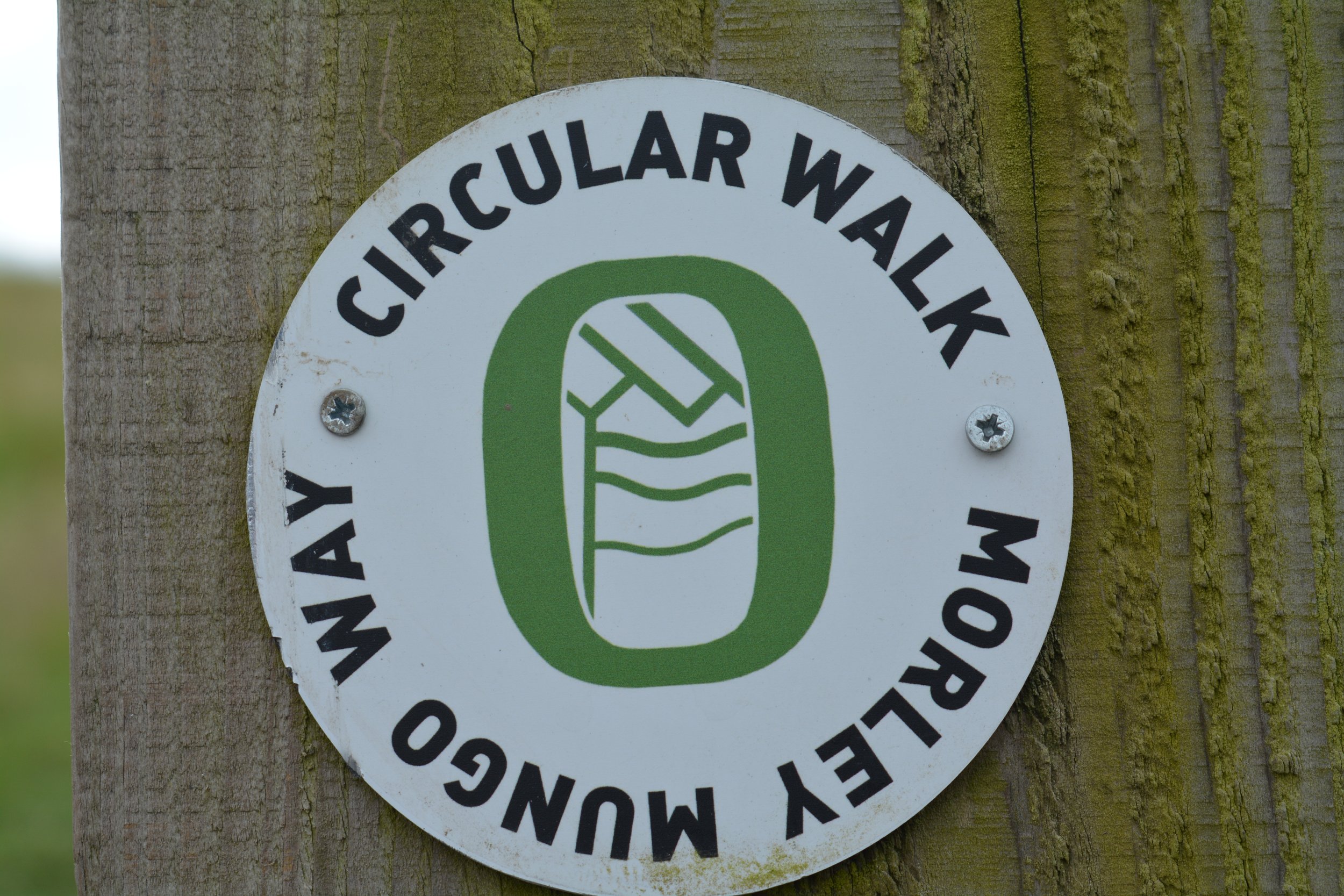
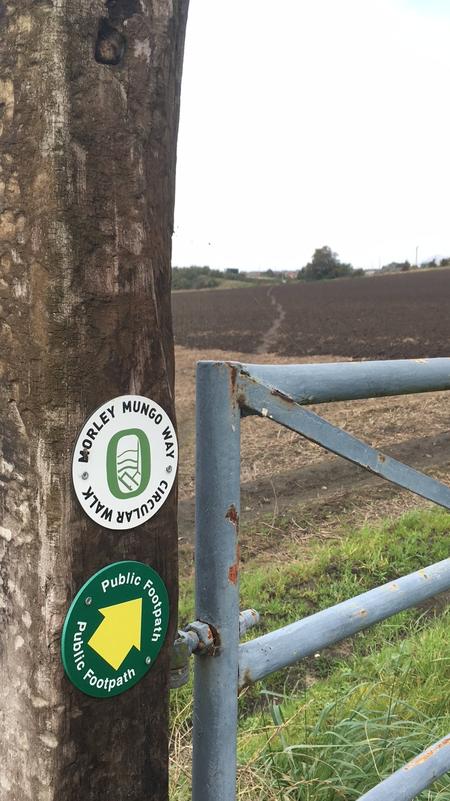
Detailed route descriptions are provided for all three sections of the walk which you should find easy to follow. Eventually, the routes will be marked with a distinctive way marker logo along with directional footpath signs for your convenience. Each section should take approximately 2 to 3 hours to walk, perhaps more at a slower pace to appreciate the views, take photos and have some breaks. Ordinance Survey Landranger 104 map has the footpaths for all 3 walks. You can check your route before you go on the footpaths map on Leeds City Council website on: https://www.leeds.gov.uk/parks-and-countryside/public-rights-of-way/definitive-map
What should I wear?
The route follows footpaths which cross the countryside and therefore can be a bit muddy specially during the wintertime. Walking boots or sturdy shoes are recommended. It makes sense to carry waterproofs just in case the weather changes and a bottle of water to drink en route. Although we have taken care to choose the most suitable footpaths the very nature of our hilly terrain crosses some areas of rough ground, steep slopes and footpath stiles making it difficult for any type of wheeled access. Mobile phone and First Aid kit are useful should a problem arise.
Reporting Problems
We hope that you will enjoy a trouble-free walk on the MCW but should you encounter any problems please report these in writing to Morley Town Council, Highways & Transportation Committee, Morley Town Hall, Queen Street. Morley LS27 9DY. Or email: town.clerk@morley.gov.uk Morley Town Council would like to thank Morley Walking Club and Parks & Countryside, Leeds City Council for their assistance in bringing this project to life.
Walk guides
Note that some guides contain all three sections, others are split into sections, or parts of the three sections, due to limitations on how large they can be, and the way they are structured.
Google Map guidance is split into the three sections
All Trails guidance is split into the three sections
Go Jauntly guidance is split into smaller segments of the three sections: for example, Mungo 1.1, Mungo 1.2. and Mungo 1.3 make up section 1. This is due to limitations on the number of photo steps that can be added to each Go Jauntly trail.
The downloadable PDF document (the original guide to this walk) contains all three sections, but has little detail. You can also download more detailed PDFs of the Google Maps version for each of the three routes. These include a map with a simple overview of the route and step-by-step instructions. However, note that the using your phone, tablet or computer to see the maps on Google Maps will reveal the full detail of each step, which isn’t shown on the printable PDFs.
You can also download KMZ, KML and GPX files for the routes using the links below. KML and KMZ files were exported from Google Maps. GPX files converted from KML files using the free online converter kml2gpx (https://kml2gpx.com).
KMZ: Section 1 of 3 KMZ | Section 2 of 3 KMZ | Section 3 of 3 KMZ
KML: Section 1 of 3 KML | Section 2 of 3 KML | Section 3 of 3 KML
GPX: Section 1 of 3 GPX | Section 2 of 3 GPX | Section 3 of 3 GPX
Three sections
Three sections
PDF - ready to print
Download either the original PDF guide for all three stages. This has no visual aids or a detailed map but can be a good complement (or alternative) to digital guides.
Or download a more detailed PDF of the Google Maps version for each of the three routes. These include a map with a simple overview of the route and step-by-step instructions (although not as detailed as on the actual online maps, which are recommended).
Section 1 of 3
Section 2 of 3
Section 3 of 3
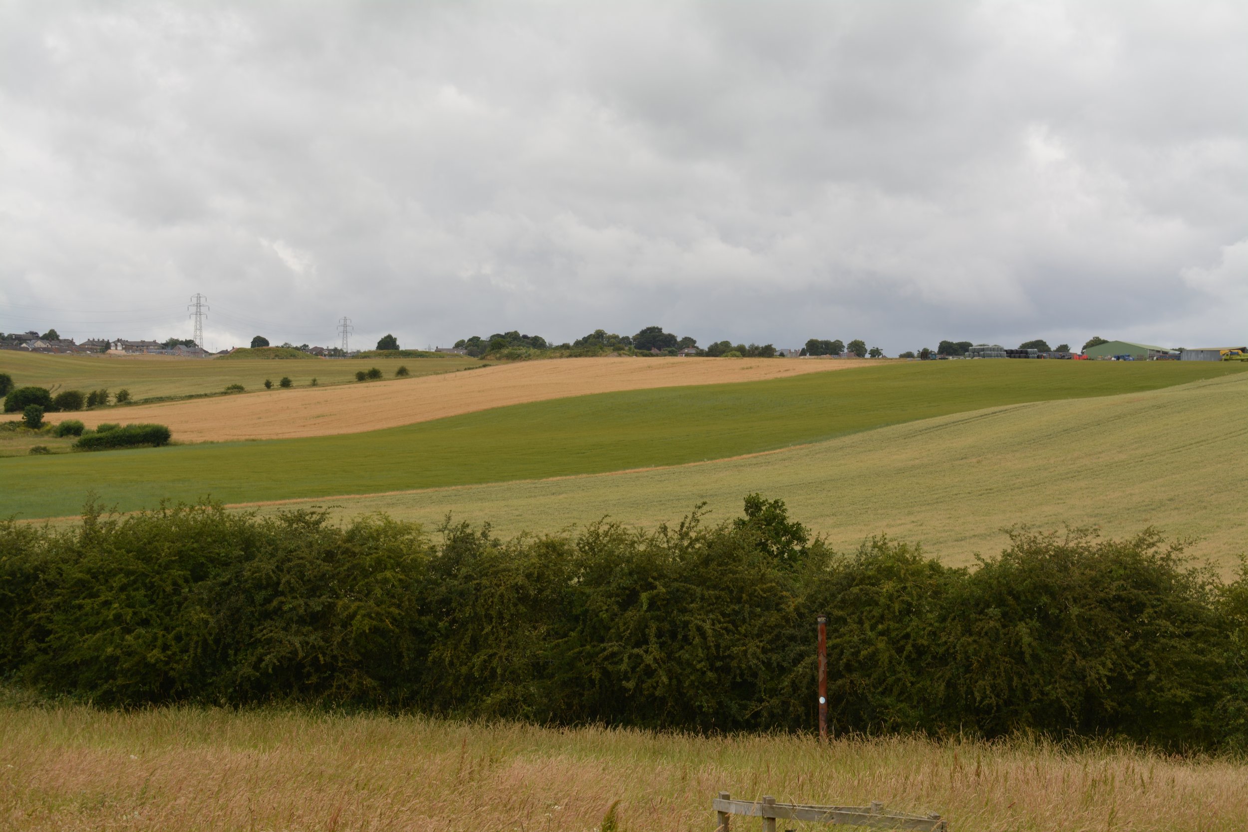
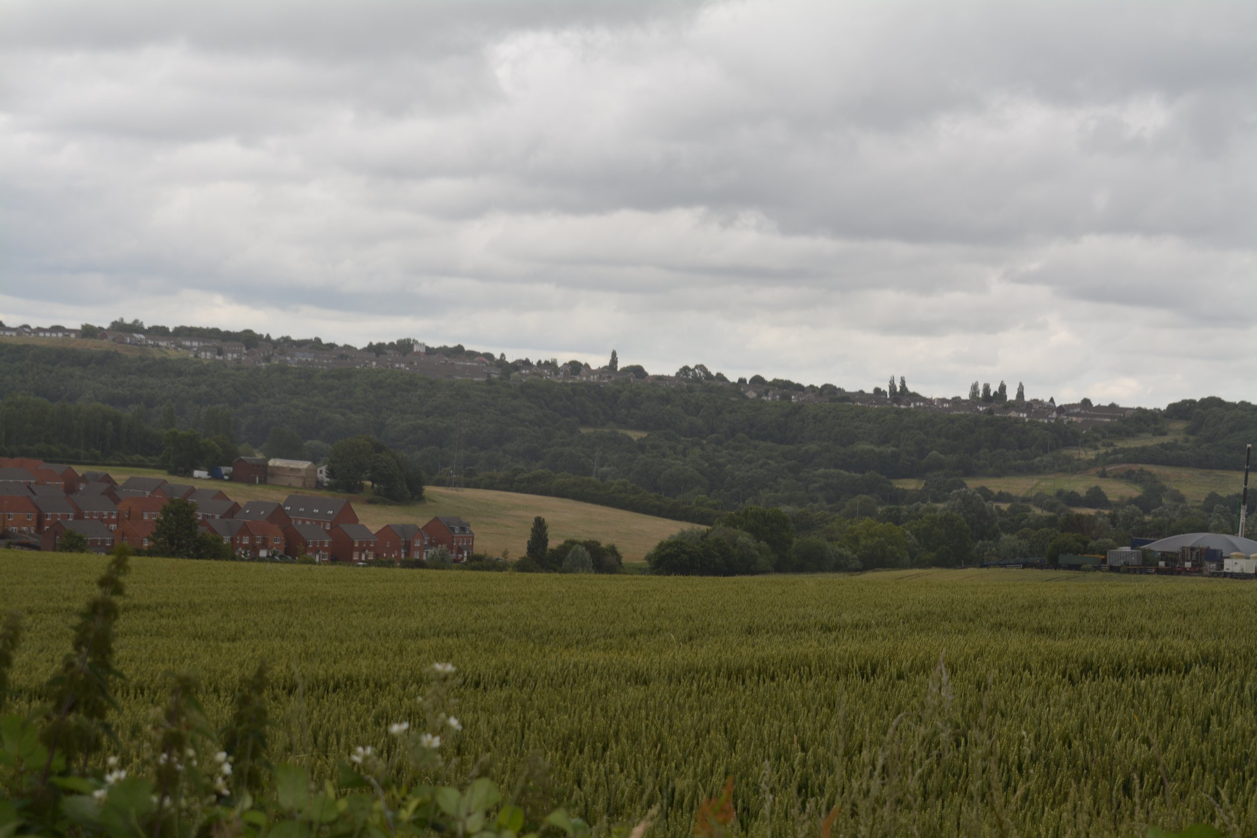
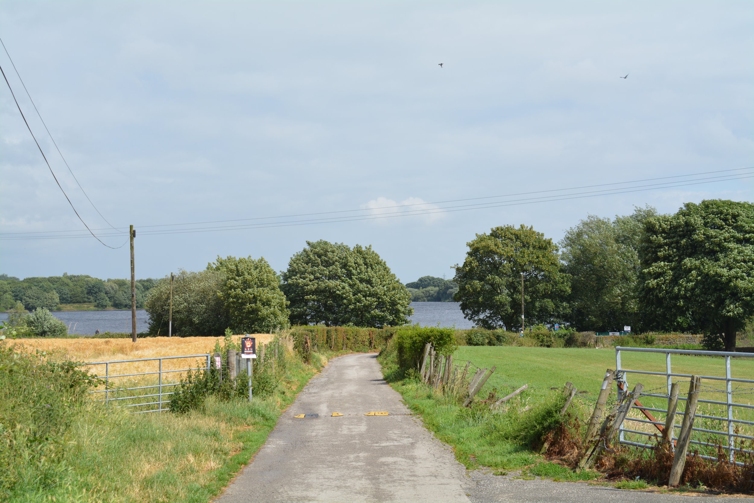
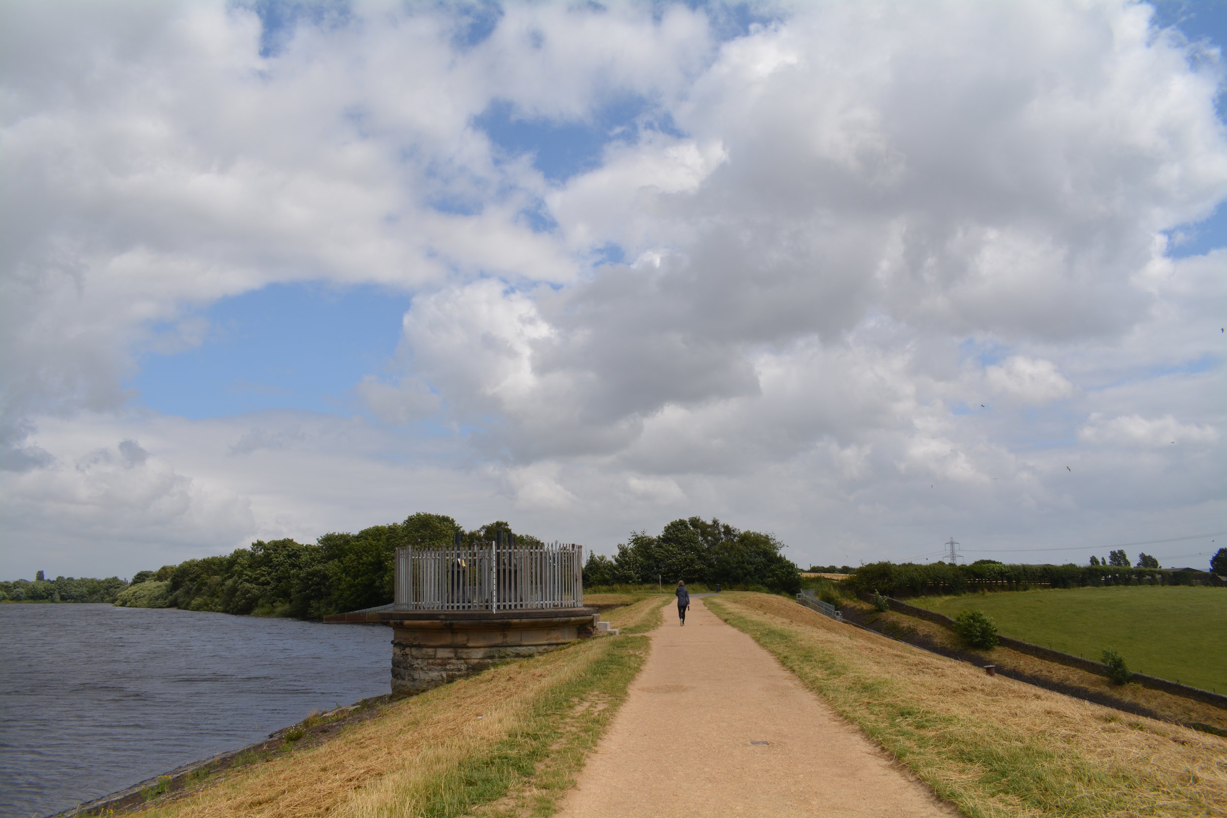
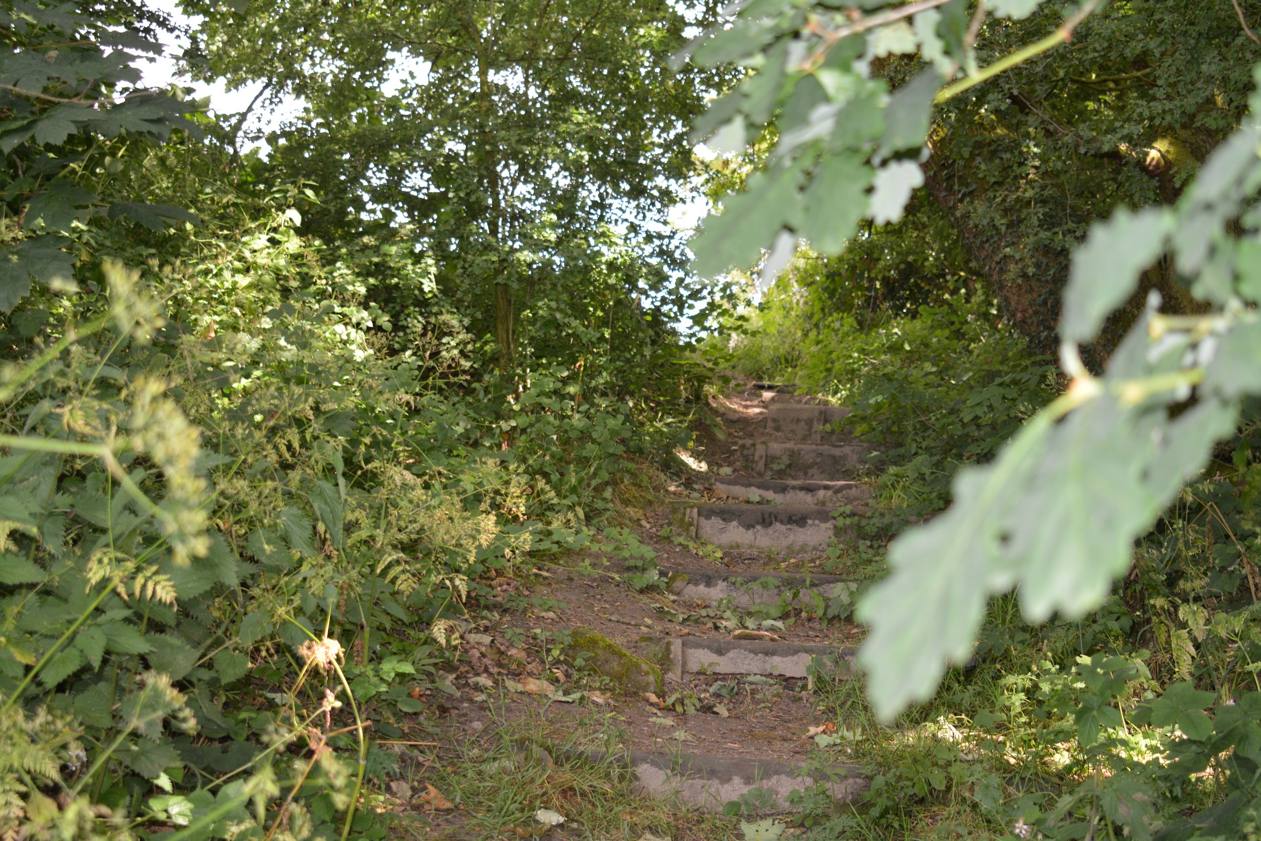
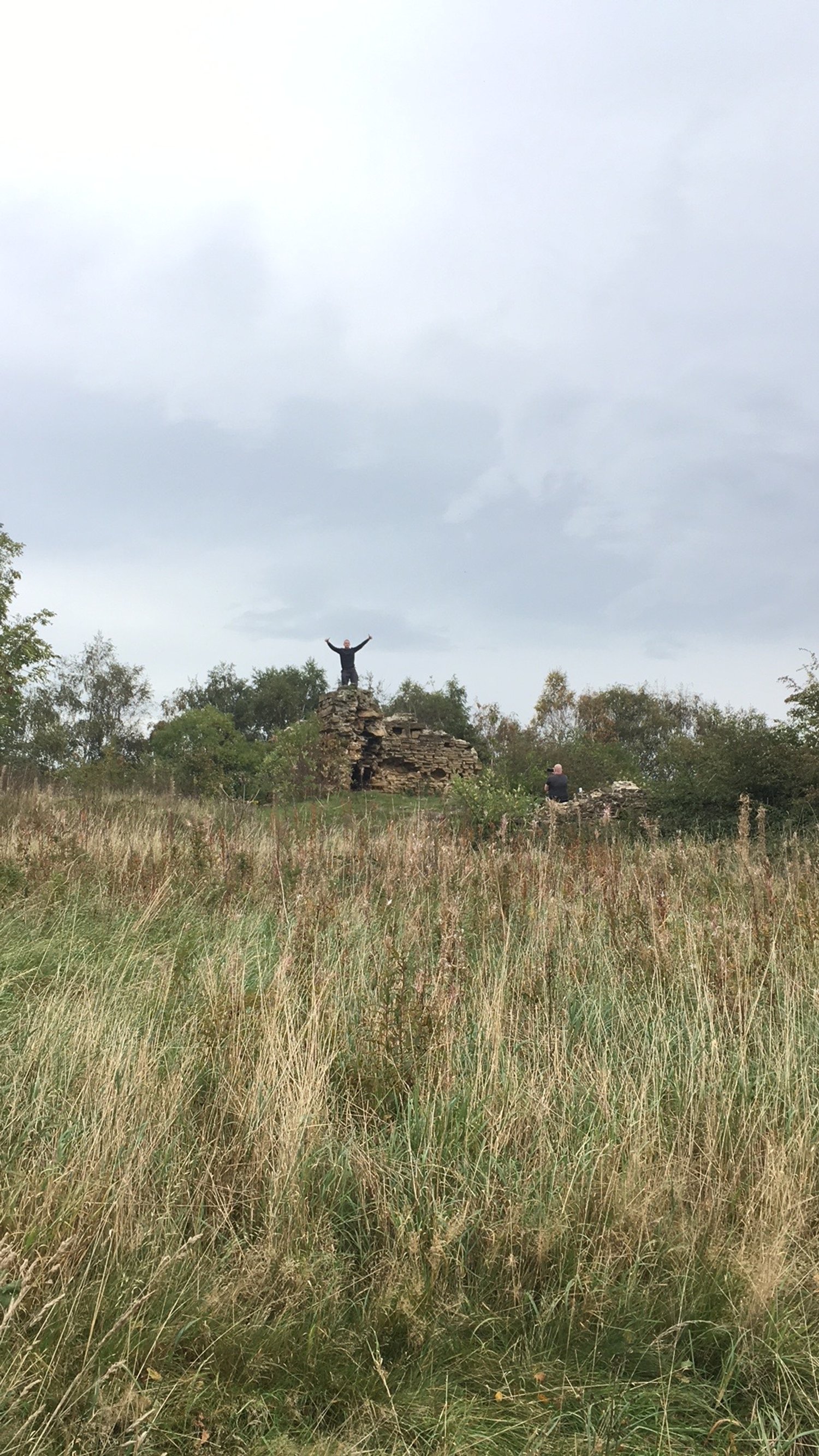
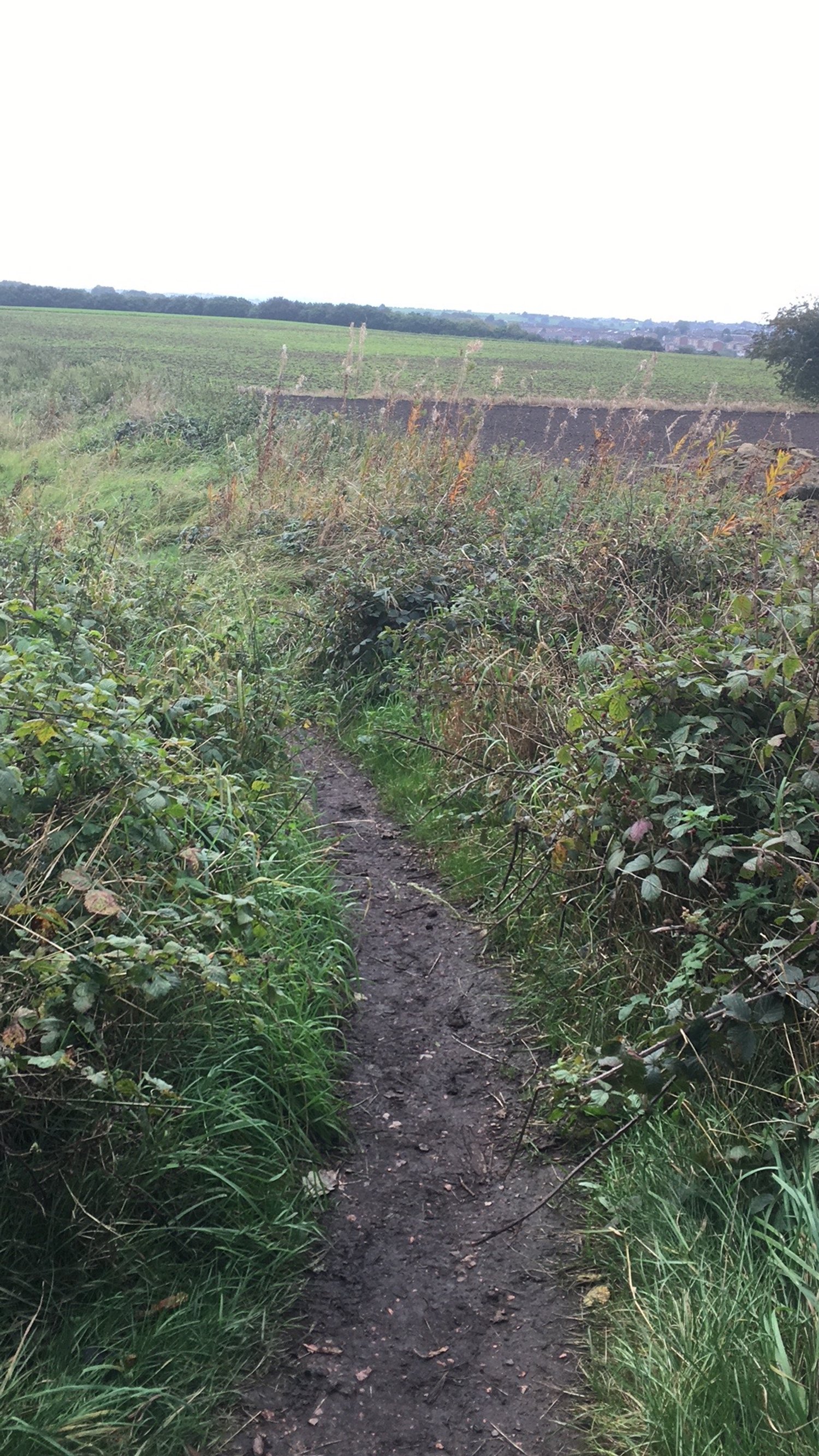
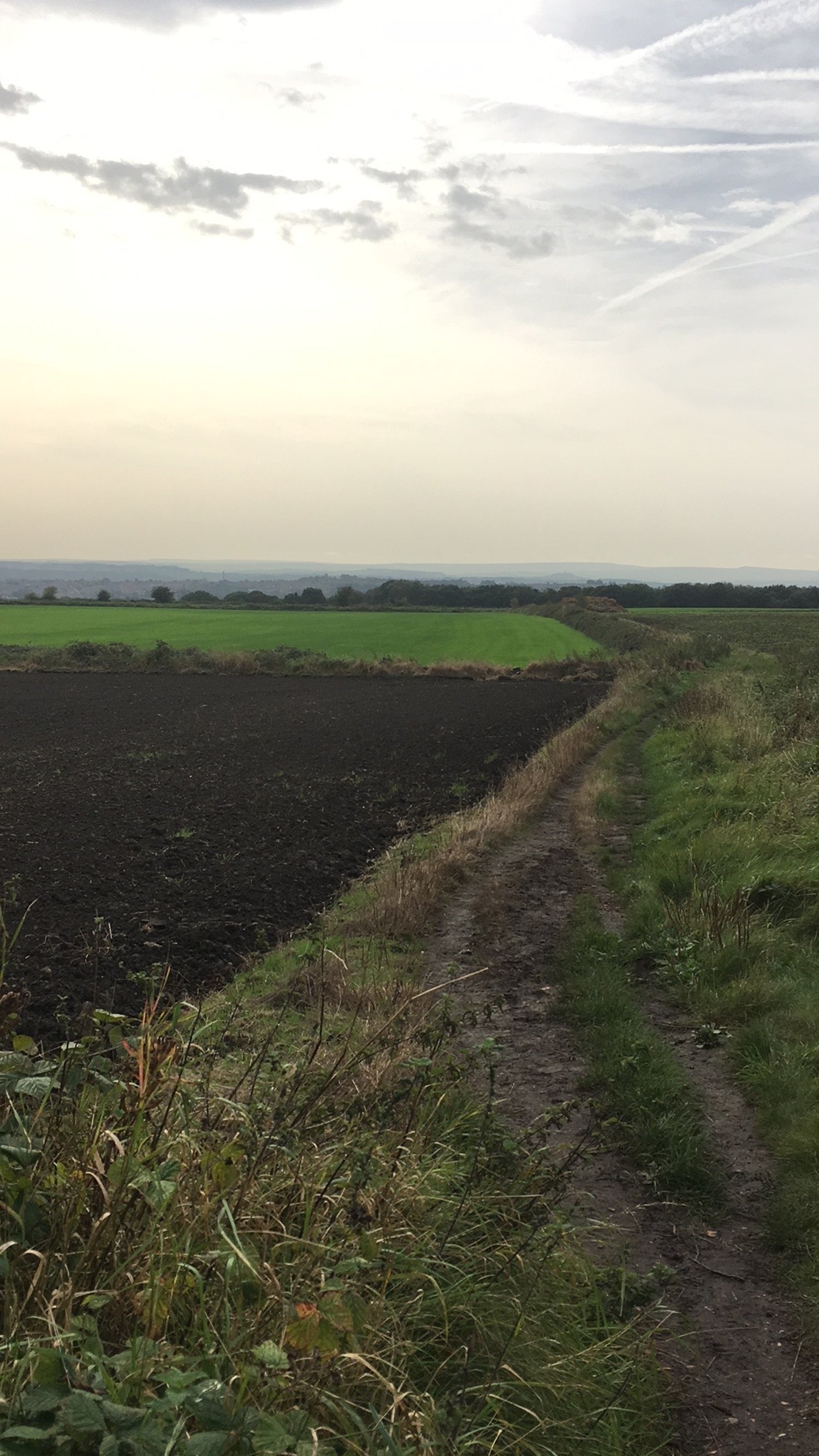
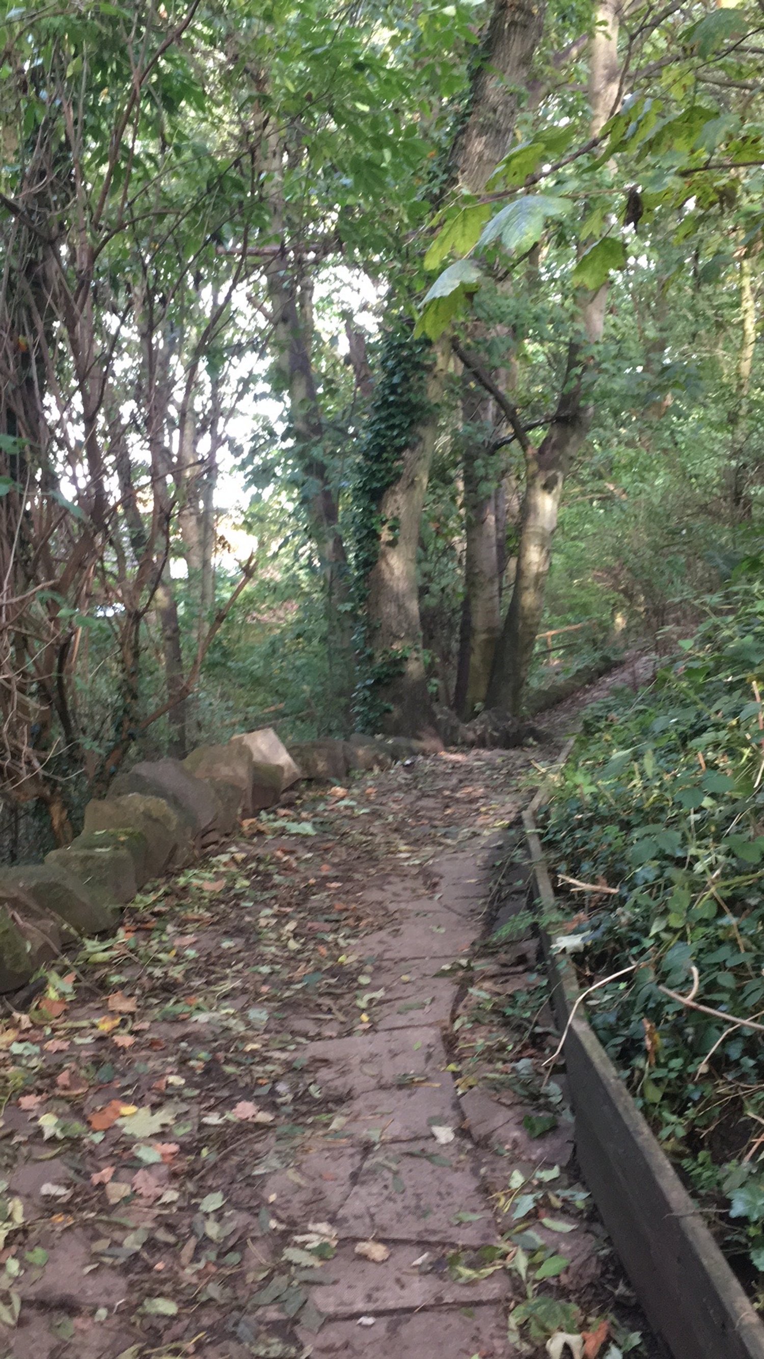
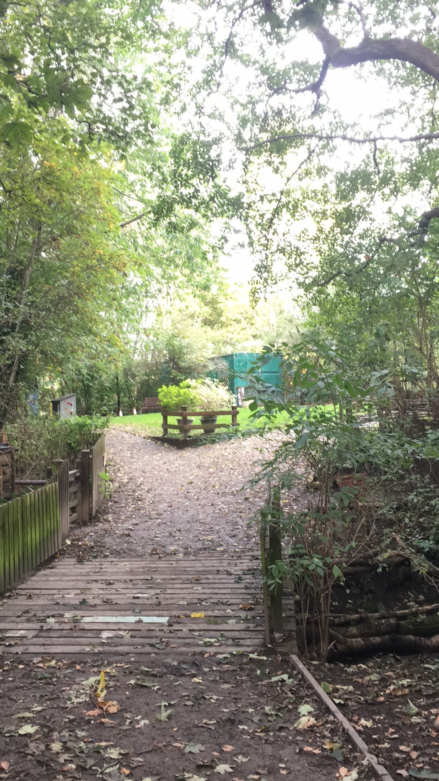
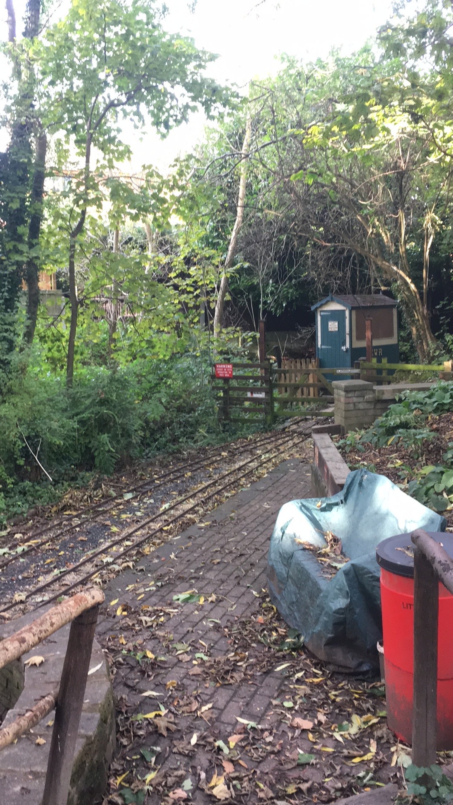
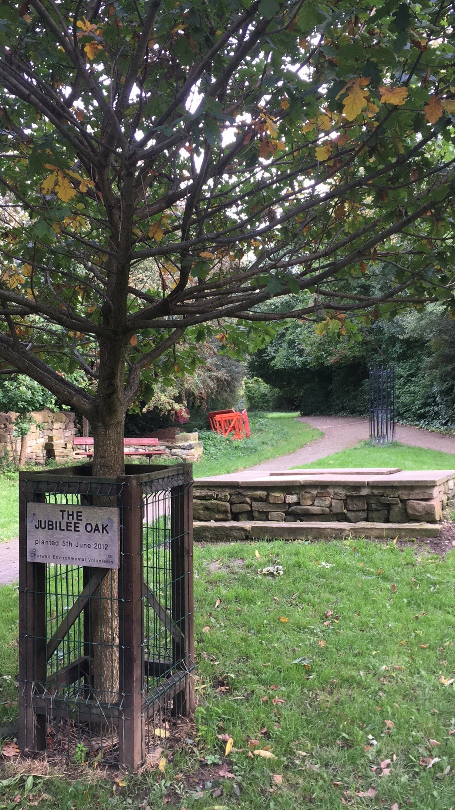
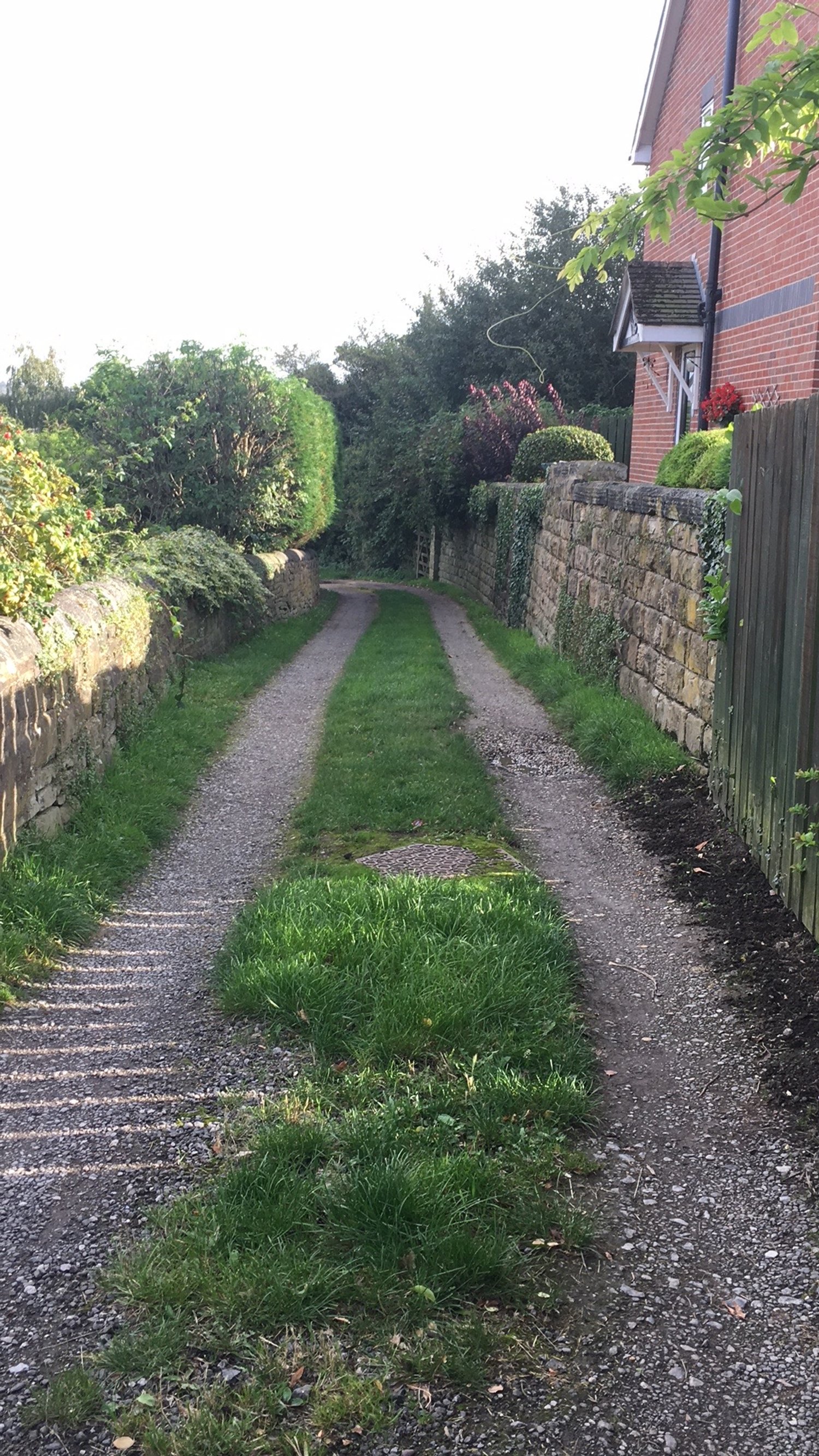
Photos of the walk
